
With the upcoming release 14.06.00, we will add support to attach images on the map. To try this, it’s as easy as dragging an image onto the map and wait until we’ve processed it.
Google Maps includes several overlay types by default: polygons, polylines and markers are common tools and we’re sure that you’ll use them at their best. However, we know that there are other features that Google Maps is missing and one of our missions as instaGIS is to provide them with seamless integration.
There are several ways to get your content overlayed on top of your maps. We want to offer you only the most streamlined and inmediate ways, so that any operation in instaGIS is frustration free and fail proof.
In order to achieve an easy uploading experience we decided to supress any kind of uploading dialogs for this specific feature. Instead, you just drag and drop an image and we’ll decide how and where to store it.
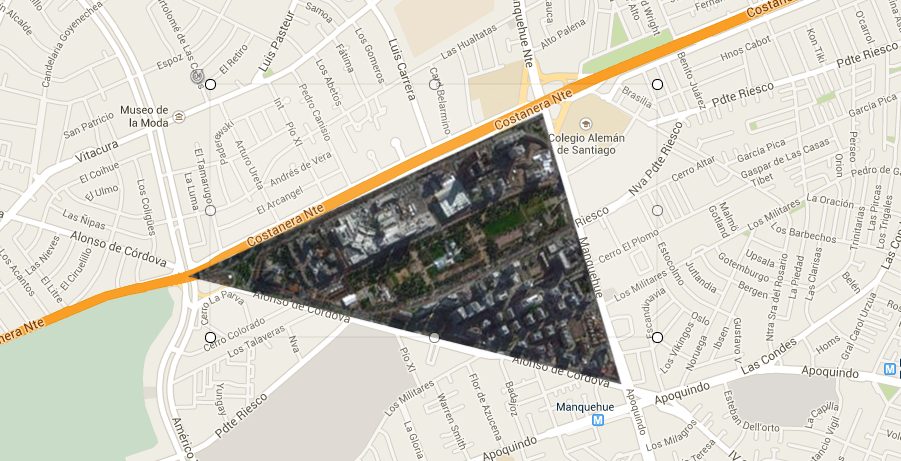
The next step, if any, will be for you to drag, rotate and scale the image so that it fits the underlying terrain. This is for the special case in which you want to get a composition such as the map above. However, in many cases the overlayed image will be just referential and you don’t really need to perform any ulterior adjustments.
Feel free to play with this new feature. Image attachments will remain on the map where you drag them into. We are prepared to store your images without size or weight limits indefinitely.